| |
|
|
|
|
ABOUT THIS COMPREHENSIVE MAP
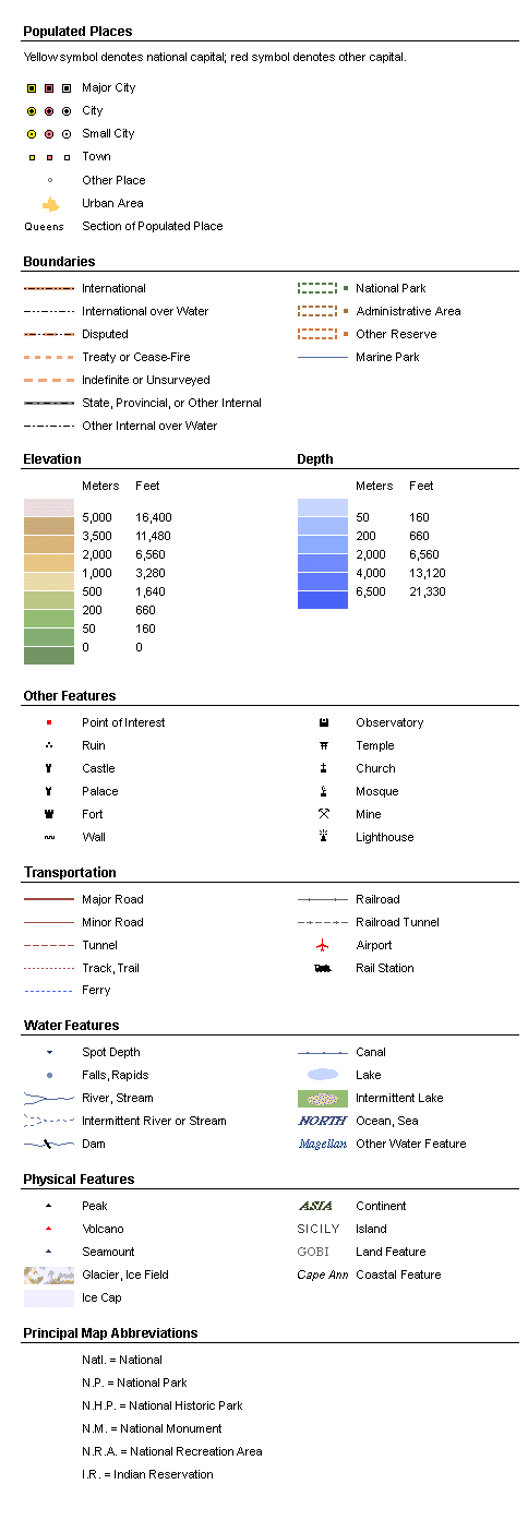
This comprehensive map of the earth
includes the items that are common to any
topographic map: watercourses and water bodies,
shaded contours, and elevations and depths measured
with respect to sea level. In addition, at its
highest resolution, the map boasts more discrete
place names than any other published atlas —more
than 1 million!
Land areas on the map are rendered
in "earth tones" of green and brown, but these hues
relate here to elevation, not to the presence or
absence of vegetation. The darkest green represents
areas below sea level. Paler greens color the
lowlands, tans the higher ground, and darker browns
the heights. Permanent ice —montane
glaciers and polar ice sheets—is
white. Water, unsurprisingly, is blue: the greater
the depth, the deeper the shade.
|
|